Full demo
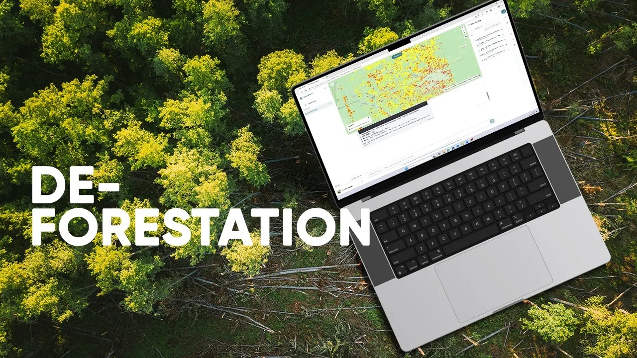
Deforestation & Land-Cover Change
Compare land-cover dates, trace forest loss and summarize transitions into other land uses.
Explore use caseExplore seven GriidAi demonstrations—from deforestation and sea-level rise to crop suitability, site selection, vector and raster analysis, rooftop solar and urban heat. Open a use case to understand the question, the method and the source video.
No use cases match these filters.
Seven selected GriidAi videos, each with its own page explaining the spatial question, analytical approach and outputs.
Compare land-cover dates, trace forest loss and summarize transitions into other land uses.
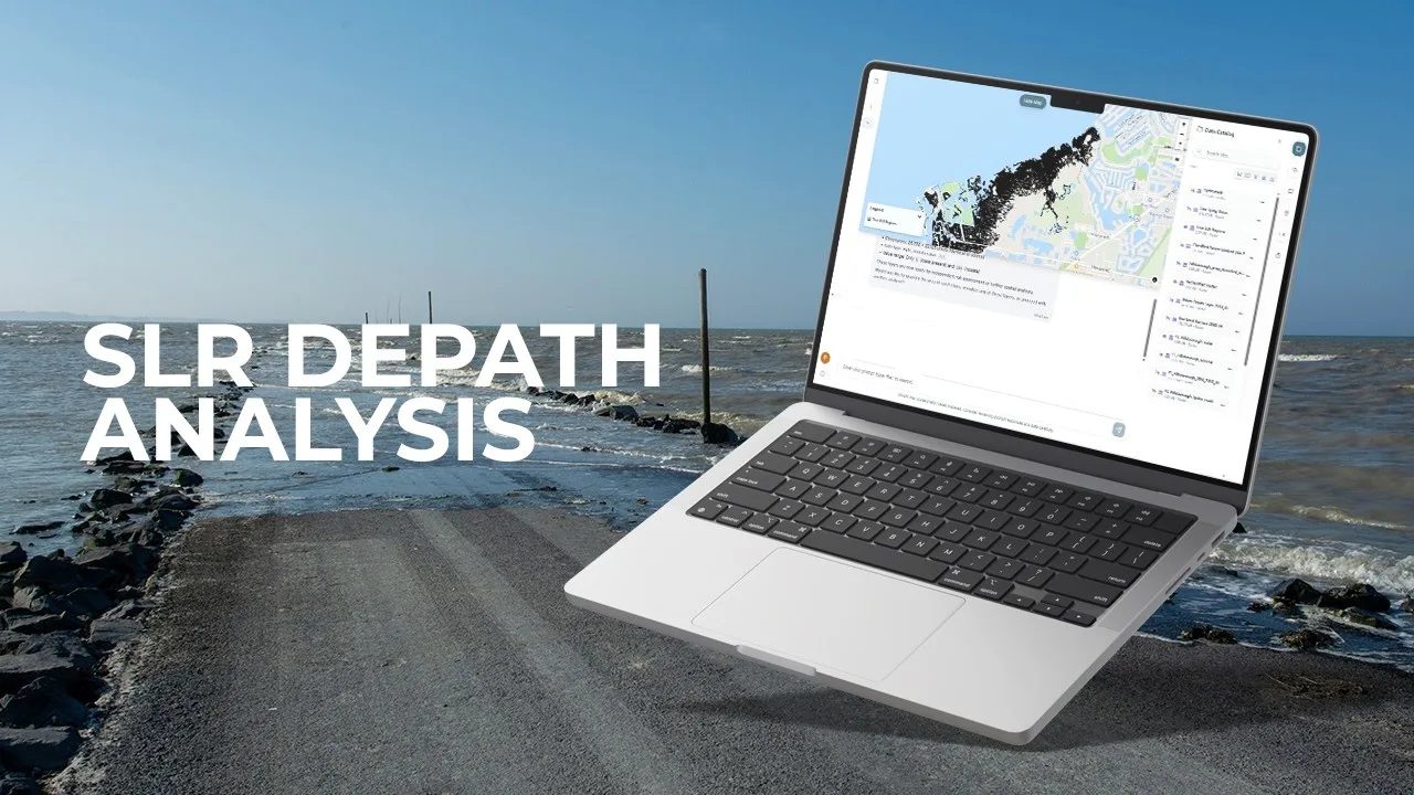
Explore use caseSeparate ocean-connected inundation from inland low points and prepare coastal exposure layers for review.
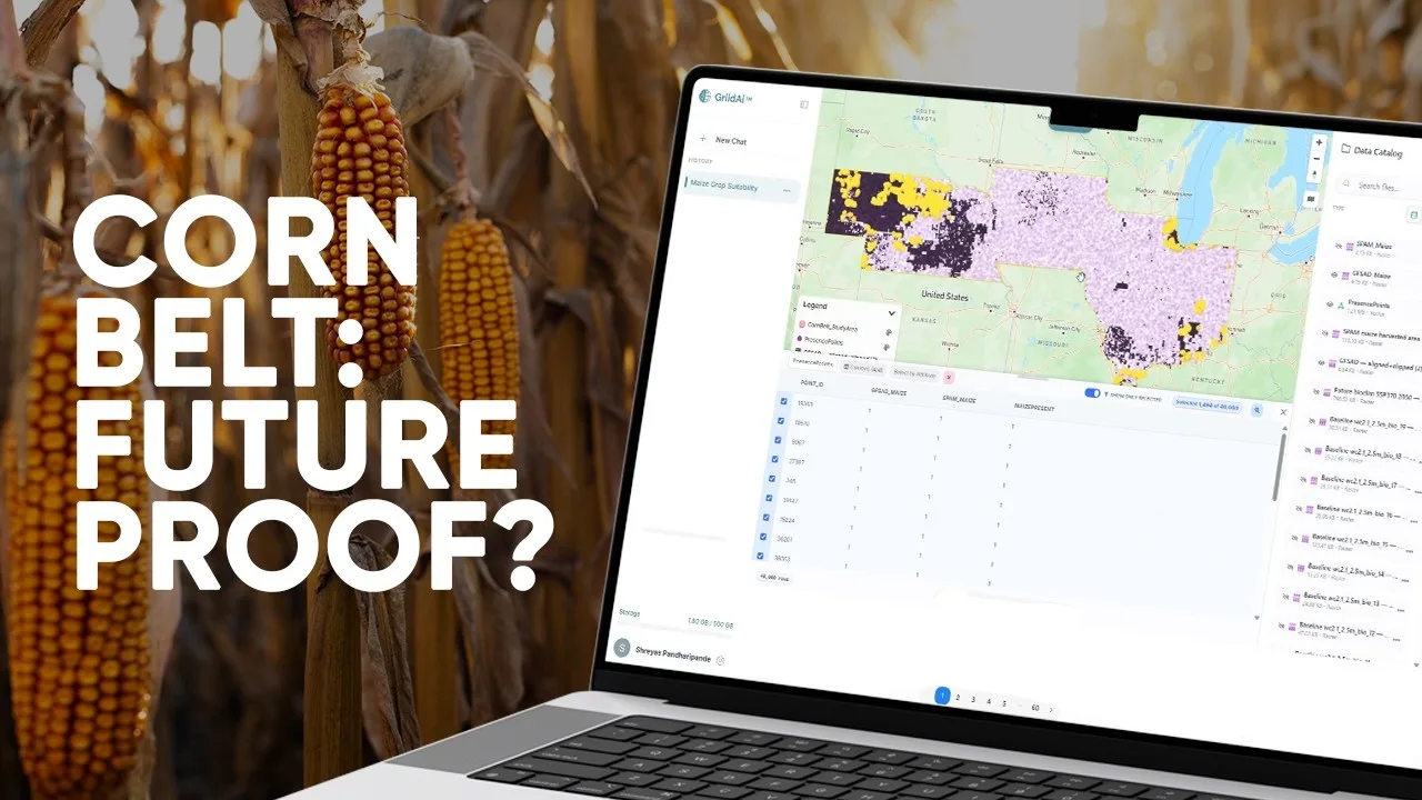
Explore use caseConnect current crop distribution with climate variables to compare present and future suitability in the US Corn Belt.
Explore use caseCompare demand, access, competition and terrain to identify candidate development zones in Riyadh.
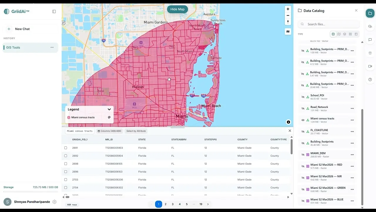
Explore use caseExplore one complete demonstration covering vector operations, satellite imagery, NDVI, coastline proximity and building-level elevation.
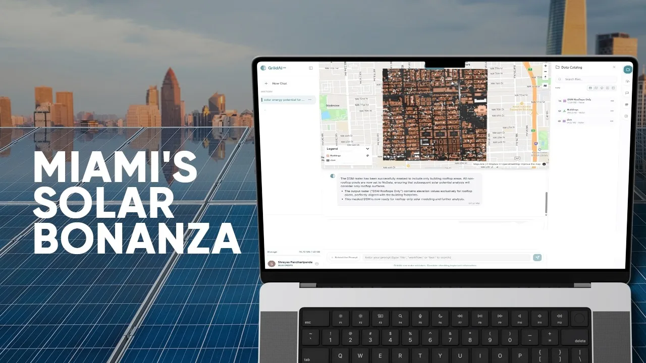
Explore use caseCombine surface elevation and building footprints to compare rooftop solar potential in Miami-Dade County.
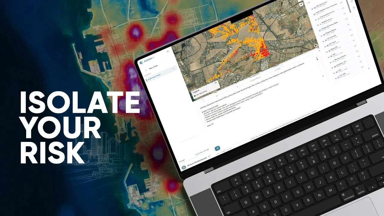
Explore use caseBuild a heat-risk index for Jeddah using temperature history, land cover and population context.
Explore use caseEach page links to its English source video and explains the question, inputs, analytical approach and outputs described there.
The selected videos demonstrate specific spatial analyses. Read each page alongside its source to understand the data, analytical scope and assumptions.
Check your own data, parameters and assumptions before adapting an example. A demonstrated result is not a verified outcome for a new location.
Each of the seven selected videos has one card and one detail page. Analytical tasks from the same video stay together on that page.
A description of the spatial question, the inputs and method described in the source, the outputs to inspect, review points and the original video.
Use the example to frame the question, then review your data, supported operations, parameters and validation needs. A published example does not guarantee the same result for a different location or dataset.
Explore an example, review its method, and start with the data and context your own question needs.