AEC & Environmental Consulting
Move from project questions to repeatable site, environmental, terrain, hydrology, and client-delivery workflows while keeping technical review in the loop.
Explore AEC & Environmental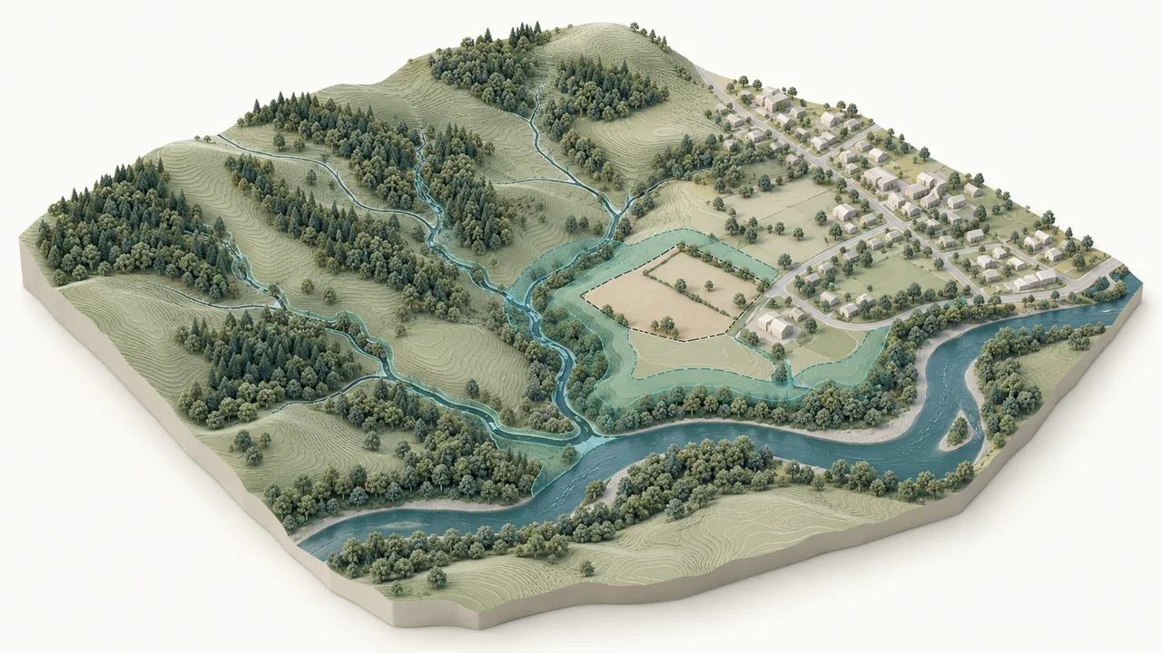
GriidAi connects geospatial data, spatial analysis, AI-guided execution, human review, maps, and reusable outputs in one workspace. Explore how that workflow applies to environmental projects, climate and physical risk, infrastructure, and location-based business decisions.
Start with the environment in which the decision is being made. Each industry page connects the platform to the questions, datasets, workflows, and outputs that matter in that sector.
Move from project questions to repeatable site, environmental, terrain, hydrology, and client-delivery workflows while keeping technical review in the loop.
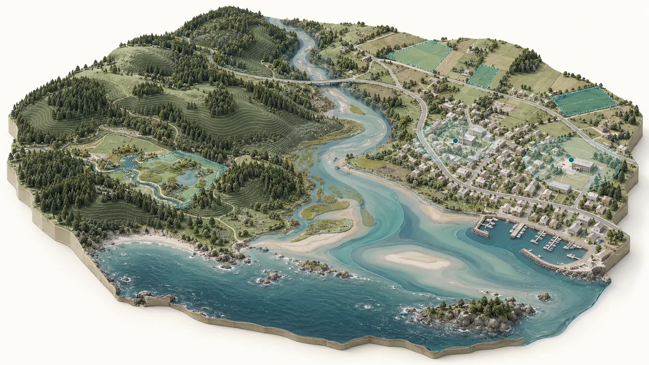
Explore AEC & EnvironmentalBring spatial evidence into flood, coastal, climate, exposure, and physical-risk screening with transparent inputs and review points.
Explore Climate Resilience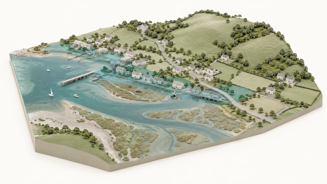
Work across assets, networks, proximity, routing, service coverage, and infrastructure context with geospatial analysis that remains reviewable by experts.
Explore Utilities & Infrastructure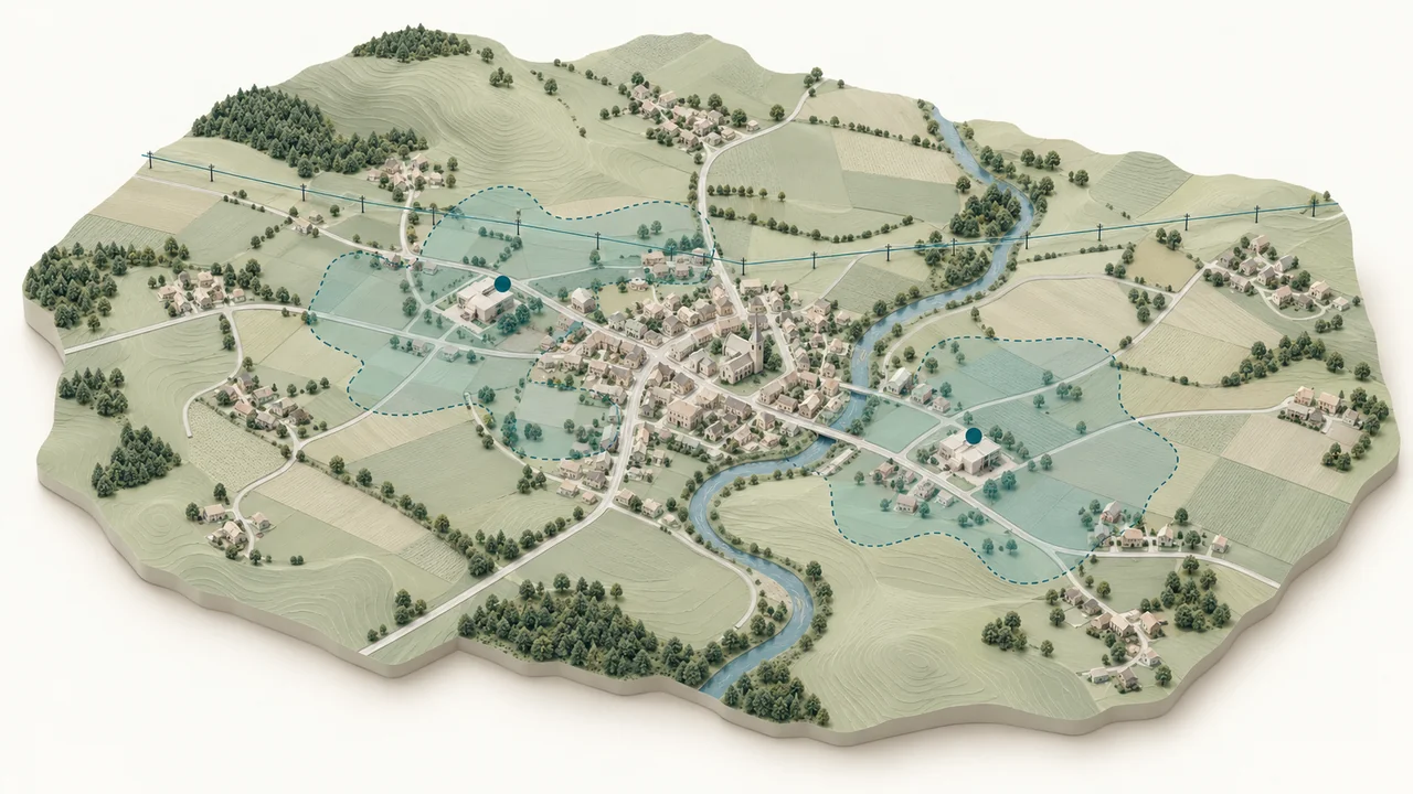
Compare locations, surrounding conditions, access, exposure, and spatial trade-offs to support site and portfolio decisions.
Explore Location Intelligence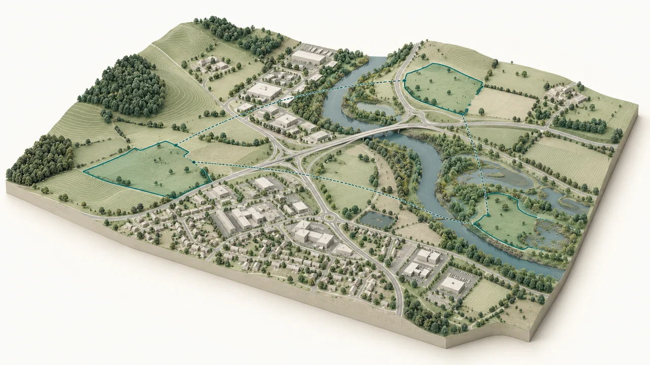
Environmental consultants, resilience teams, utilities, and location-intelligence teams ask different business questions, but the work often repeats the same underlying pattern: find or bring the right data, prepare it, run spatial analysis, check assumptions, review the result, and communicate what the map means for the decision.
GriidAi is designed to connect those steps so expert methods do not have to be rebuilt from scratch for every new project or location.
Which sites or project areas require closer environmental or terrain review?
Map + analytical layers + exportable evidence.
Which assets or places may be exposed under a flood or coastal scenario?
Exposure map + scenario result + supporting statistics.
Where are coverage gaps, nearby risks, or access constraints around assets and services?
Coverage/proximity map + affected assets + table.
Which locations best match the spatial criteria for a new site or portfolio review?
Comparative map + site metrics + shortlisted locations.
Industry context changes the data, assumptions, thresholds, and interpretation of a spatial analysis. GriidAi can help organize the work and execute supported geospatial steps, but the expert still reviews the plan, checks whether the selected data and method make sense, and validates the outcome before it informs a decision.
The user describes the business or spatial question.
Clarify the decision, geography, time window, and constraints.
Relevant uploaded or discoverable data is brought into the workspace.
Confirm sources, coverage, currency, and suitability.
GriidAi proposes supported analytical steps and expected outputs.
Review method, assumptions, parameters, and validation strategy.
Approved spatial operations run in the cloud workspace.
Stay within supported operations and documented boundaries.
Maps, tables, statistics, and outputs are inspected.
Decide whether the result is defensible for the intended use.
Outputs are exported and successful methods can inform future work.
Preserve context, provenance, and domain judgment.
A spatial result can look convincing even when a projection, join, unit, time window, dataset, or assumption is wrong. That risk matters even more when the output supports environmental review, infrastructure, climate risk, or portfolio decisions. GriidAi’s human-guided approach keeps plan review and result validation visible instead of treating the first generated output as the final decision.
Are the source, geography, time period, resolution, and attributes appropriate for this decision?
Are the spatial operations, parameters, CRS, units, and assumptions appropriate?
What checks should be performed before the result is accepted?
Is the output a screening result, analytical result, or decision-ready deliverable, and what additional expert review is required?
GIS professionals, consultants, researchers, and adjacent analysts can start with their own data, prompts, and supported workflows.
GIS teams, consulting groups, asset/risk/operations teams, and their leaders need repeatability, governance, integration, and domain-specific deployment patterns.
Explore the industry pages, open a relevant workflow, or start with your own geospatial question in GriidAi.
Explore All Solutions